• We have updated the guidelines regarding posting political content: please see the stickied thread on Website Issues.

A Potentially Useful Resource For The Fortean Explorer

maximus otter

Recovering policeman
Joined
Aug 9, 2001
Messages
13,948
The National Library of Scotland has digitised a huge number of maps of the UK and elsewhere. Useful enough, but they have cleverly provided a fascinating tool for the voyager: It’s easy to overlay a modern Bing satellite image of, say, Avebury with a Victorian Ordnance Survey map of the same area. Even more cleverly, it’s possible, using a slider provided, to increase or decrease the transparency of the overlay. This enables the inquirer to “travel through time”, seeing where houses have been erected or demolished; or roads built, widened or diverted.

Multiple combinations of mapping systems and publishing dates can be used to achieve the desired effect.

Fascinating.

https://maps.nls.uk/geo/explore/

maximus otter
 
Last edited:
brilliant! thank you :)
 
May I add

SCRAN "Scran hosts over 490,000 amazing, fully-captioned images, sounds and videos from over 300 museums, galleries, and archives including the V&A, National Galleries of Scotland, Glasgow Museums and The Scotsman."

and

CANMORE (not named after my cat) "Canmore contains more than 320,000 records and 1.3 million catalogue entries for archaeological sites, buildings, industry and maritime heritage across Scotland. Compiled and managed by Historic Environment Scotland, Canmore contains information and collections from all its survey and recording work, as well as from a wide range of other organisations, communities and individuals who are helping to enhance this national resource."

Edit to add

ADS Digital heritage data. Really is a model internationally. Want online a dig report from 1947 for that bump in the field next door? This is the place to try.

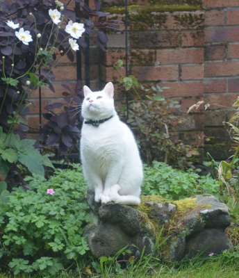
My cat Canmore
 

Attachments

  • Canmore_16-09-17b.jpg
    Canmore_16-09-17b.jpg
    1 MB · Views: 10
Last edited:
Back
Top