• We have updated the guidelines regarding posting political content: please see the stickied thread on Website Issues.
I think a lot of my fondness for clouds results from at a very young age getting my hands on my Dad's old childhood set of Observers books - lots of colour plates of birds, animals, fish etc. I was too young to 'read' them really, but even enjoyed looking at the pictures in the Observers Book of Weather, whose dubious 50s-era colour rendition, captions and cloud types are still laser etched into my brain over forty years later:

tumblr_inline_ofat8k2Yci1s96d33_1280.jpg

tumblr_inline_ofat5vYN5g1s96d33_640.jpg
 
...pictures in the Observers Book of Weather, whose dubious 50s-era colour rendition, captions and cloud types are still laser etched into my brain over forty years later:

View attachment 58365
And that's where the saying comes from. "Red sky at night, sailor's delight: red sky in morning, sailors take warning." I just thought it kind of funny that whoever designed the plate caption explained this almost as if no one had heard the adage.

For more discussion of the "red sky" weather adage see:

Weather Lore: "Red Sky At Night" / " ... Morning" ?
https://forums.forteana.org/index.php?threads/weather-lore-red-sky-at-night-morning.57106/
 
Last edited by a moderator:
  • Like
Reactions: BS3
The plate from that book that really stuck in my childhood memory was a painting that was supposed to be of the unusual storm cloud responsible for the 1952 Lynmouth flood disaster.

20220826_230056.jpg

After a bit of Googling, I see that in an essay the meteorologist Bob Prichard talks about the same book from his childhood and exactly the same picture, saying that "it made quite an impression on me". The really funny thing is he then goes on to say that he realises years later, with the benefit of far more knowledge, that it couldn't be of the Lynmouth storm.
 
Last edited:

shelf cloud captured in Dorset before storm hit


BBC South weather presenter Alexis Green said: "They are not an unusual feature in thunderstorms in general but that is a fantastic example from a rather vigorous storm, and you don't often see such photogenic cases in the UK.

"It's shelf cloud - a type of arcus cloud. They form on the leading edge of thunderstorms. Cool, sinking air from a storm cloud's downdraught spreads out across the land surface, with the leading edge called a gust front.

"This outflow cuts under warm air being drawn into the storm's updraft. As the lower and cooler air lifts the warm moist air, its water condenses, creating the shelf cloud."
video at link.

1662470642630.png
 
This time lapse animation illustrates the flow of a banner cloud, known locally around Gibraltar as a "Levanter."

Bizarre 'Levanter' cloud billows off Rock of Gibraltar in breathtaking time-lapse video

An unusual cloud formation, known locally as a "Levanter," was recently captured in exquisite detail as it appeared to flow off the peak of the Rock of Gibraltar ...

The Gibraltar Met Office captured the new time-lapse video on Aug. 24 on the runway at Gibraltar International Airport and shared the breathtaking scene on Twitter (opens in new tab). In the sped-up footage, the billowing cloud appears to form out of thin air around the peak of the 1,398-foot-tall (426 meters) Rock of Gibraltar ...

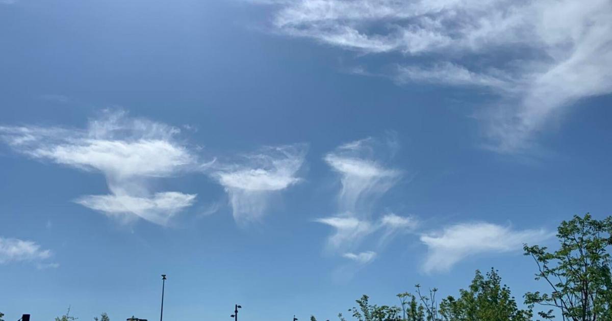
The bizarre formation is known as a "banner cloud," which is a type of orographic cloud, meaning it is created due to the shape of the land below it, according to the U.K. Met Office ... Banner clouds are birthed when strong winds blow moisture-rich air against a hill or mountain, forcing the air to lift toward the peak. As the air reaches the summit, it cools down, causing the water vapor to condense into a cloud, which either hangs, stationary, around the peak or, in the case of the new video, gets blown away by the wind ...

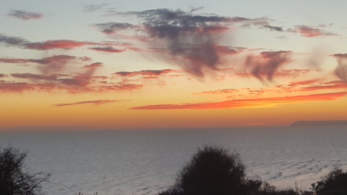
The Rock of Gibraltar is well suited to spawning banner clouds because it catches a regularly occurring wind known as the Levant, an easterly gust that blows westward through the Strait of Gibraltar, off southern Spain. Locals have, therefore, nicknamed the cloud formations "Levanters." ...
FULL STORY: https://www.livescience.com/levanter-cloud-gibraltar
 
This time lapse animation illustrates the flow of a banner cloud, known locally around Gibraltar as a "Levanter."


FULL STORY: https://www.livescience.com/levanter-cloud-gibraltar

That's a beautiful cloud phenomenon though I think the article may have it a bit wrong - the wind isn't called the "Levant", it's called the "Levanter", because it blows from the Levant.

Eg Rafferty, "Winds and Violent Storms"; "The levanter is a strong wind of the western Mediterranean Sea and the southern coasts of France and Spain. It is mild, damp, and rainy and is most common in spring and fall."
 
Last edited:
A roll cloud (Cloud Atlas name volutus) is a low, horizontal, tube-shaped, and relatively rare type of arcus cloud. They differ from shelf clouds by being completely detached from other cloud features. Roll clouds usually appear to be "rolling" about a horizontal axis. They are a solitary wave called a soliton, which is a wave that has a single crest and moves without changing speed or shape. One of the most famous frequent occurrences is the Morning Glory cloud in Queensland, Australia, which can occur up to four out of ten days in October.[2] One of the main causes of the Morning Glory cloud is the mesoscale circulation associated with sea breezes that develop over the Cape York Peninsula and the Gulf of Carpentaria. However, similar features can be created by downdrafts from thunderstorms and are not exclusively associated with coastal regions.

Coastal roll clouds have been seen in many places, including California, the English Channel, Shetland Islands, the North Sea coast, coastal regions of Australia, and Nome, Alaska.


Source:
https://en.m.wikipedia.org/wiki/Arcus_cloud#Roll_cloud

 
Does anyone here know the name of this type of cloud please (seen and snapped above Aylsham and also over the coast about an hour ago) ..

aaylshamcloud001.jpg


aaylshamcloud002.jpg
 
I took this picture last December when the sun was still below the horizon, looking across the Channel towards the French coast. The virga below the cava are casting shadows on the underside of the clouds.

dawn 20211211 C63A0642.jpg

fallstreak hole 20211211 C63A0642.jpg

In this photo taken in July a cavum is forming and some virga are visible.

fallstreak hole 20220713_092413.jpg
 
I spotted these…clouds?…a few days ago. (Crap grab shots from a moving bus with an ancient iPhone):

415C0893-0B6A-4450-B5E9-30A3E1618CCB.jpeg
BBC2EE26-A145-4262-8F80-C9975E9CD331.jpeg


1,000:1 that they were the results of aeroplane activity, but unusual.

maximus otter
 
Back
Top