Endlessly Amazed
Endlessly, you know, amazed
- Joined
- Aug 6, 2020
- Messages
- 1,381
- Location
- Arizona, USA
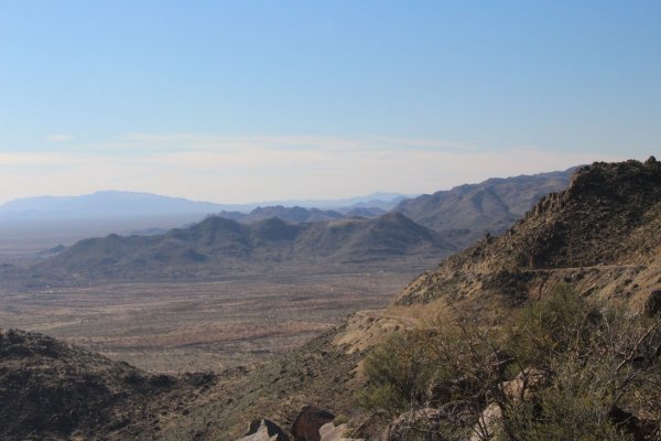
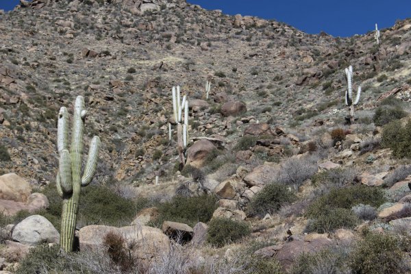
I will from time-to-time post photos of Arizona here to provide a slice-of-life for those Forteans who do not live in the SW American desert.
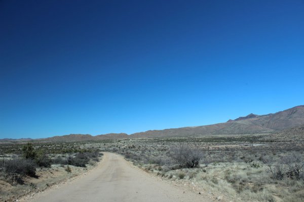
Yesterday I took a drive in the rural areas of Maricopa and Yavapai counties. About 25-30 miles of unpaved road, then about 75 miles of paved roads to get back. The unpaved road took me about 3 hours to drive. I saw five other vehicles, so a busy day. A few tricky parts as the road was washed away from the rains last week. I met a man living in the wilds; 2 horses, one he was riding, the other had his gear; 2 dogs who were ferocious as free dogs in the boonies are. He looked very peaceful and relaxed. BTW, no cell phone service out here for the most part. So, I always have contingency plans in my head before I leave my house.
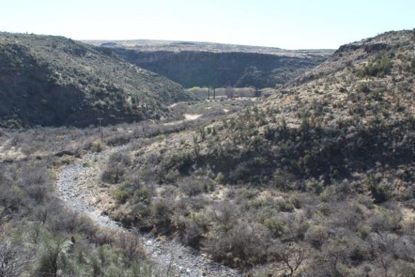
The photo is of a retreat center about 3/4 of a mile from the road from where I took the photo. The shadowed cliff in the upper middle has been carved out by the Kirkland creek over the last 10 million years or so. The soft gray horizontal line below the cliff is a line of 60-80 foot high cottonwood trees. The very tiny rectangles are the retreat buildings. So, civi - civi - civilization
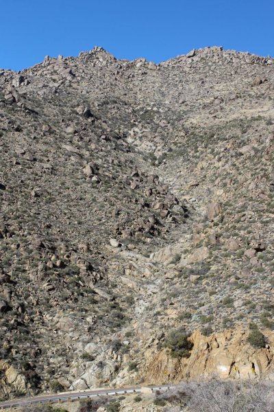
The second photo is of a really well-maintained road that goes up the south cliff face of the Bradshaw Mountains. The cliff face is at about a 70 degree incline, so steep. Sometimes the boulders, the size of cars, come down onto the road unexpectedly. After every rain, some rocks come down - usually the smaller ones - but still big enough to wreck your car. The lighter S curve on the cliff is a dry creek - waterfall area where all the plants periodically wash away after heavy rains.
Attachments
Last edited:


